Pre-colonialisation Bexley is where Tuahiwi people fished, eeled, and gathered other kaimoana until the waterways were blocked and the land confiscated for public works in 1956. Getting land back in Christchurch was crucial for the Treaty claim lodged in 1986.
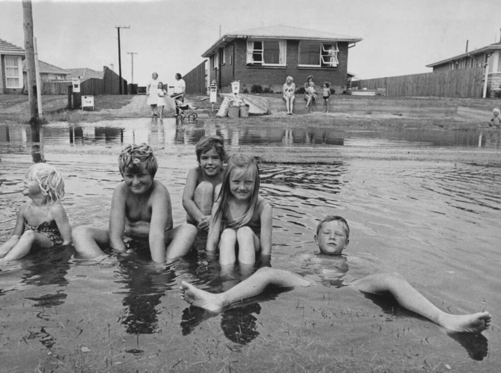
Bexley is home to a large wetland historically used for dairy herd grazing, farming, as a scrap metal yard, residential housing, and more recently (post EQ). The land is considered a high-risk flood zone. One residential home remains.
There are currently no planting projects underway. CCC has plans to allow unassisted wetland generation/naturalization- transforming fields into ponds, wetlands, and marshes. Removal of flood bank (bund) parallel to Waitaki Street will allow the area to flood and regenerate naturally.
The area’s future is likely to include the development of the wildlife reserve- lakes, sand dunes, and roosts for native birds.